Robotic ImagingSeptember 08, 2024
When it comes to large infrastructure projects, precision and efficiency are paramount. This is where the cutting-edge technology of Light Detection and Ranging (LiDAR) comes into play. LiDAR scanning has revolutionized the way engineers and project managers plan, develop, and maintain various infrastructures such as bridges, roads, and utilities.
LiDAR scanning operates on a straightforward yet sophisticated principle. It utilizes laser light to map out and measure distances in an environment, generating precise three-dimensional information about the shape and surface characteristics of the area being scanned. A LiDAR system emits thousands of laser pulses per second and measures how long it takes for each pulse to bounce back after hitting an object. This ‘time-of-flight’ data is then processed to create detailed 3D representations of the scanned area. Compared to traditional surveying methods, which rely on physical measurements and can be time-consuming and less precise, LiDAR significantly accelerates the data collection process. According to a study by the National Oceanic and Atmospheric Administration (NOAA), LiDAR can be "up to 50 times more efficient" than conventional surveying techniques, depending on the specifics of the project. Though, this efficiency doesn't come at the cost of accuracy. Let's dive into the top nine benefits of using LiDAR in these complex projects.
Suggested reading: If you want to learn more about the best mobile apps for site surveys, check out this article.
1. Increased Accuracy and Precision
LiDAR is known for its high level of accuracy. Like we talked about, it uses laser beams to measure distances, which allows for the creation of very detailed and accurate 3D models of the scanned area. This precision is critical for infrastructure projects where every millimeter can make a big difference.
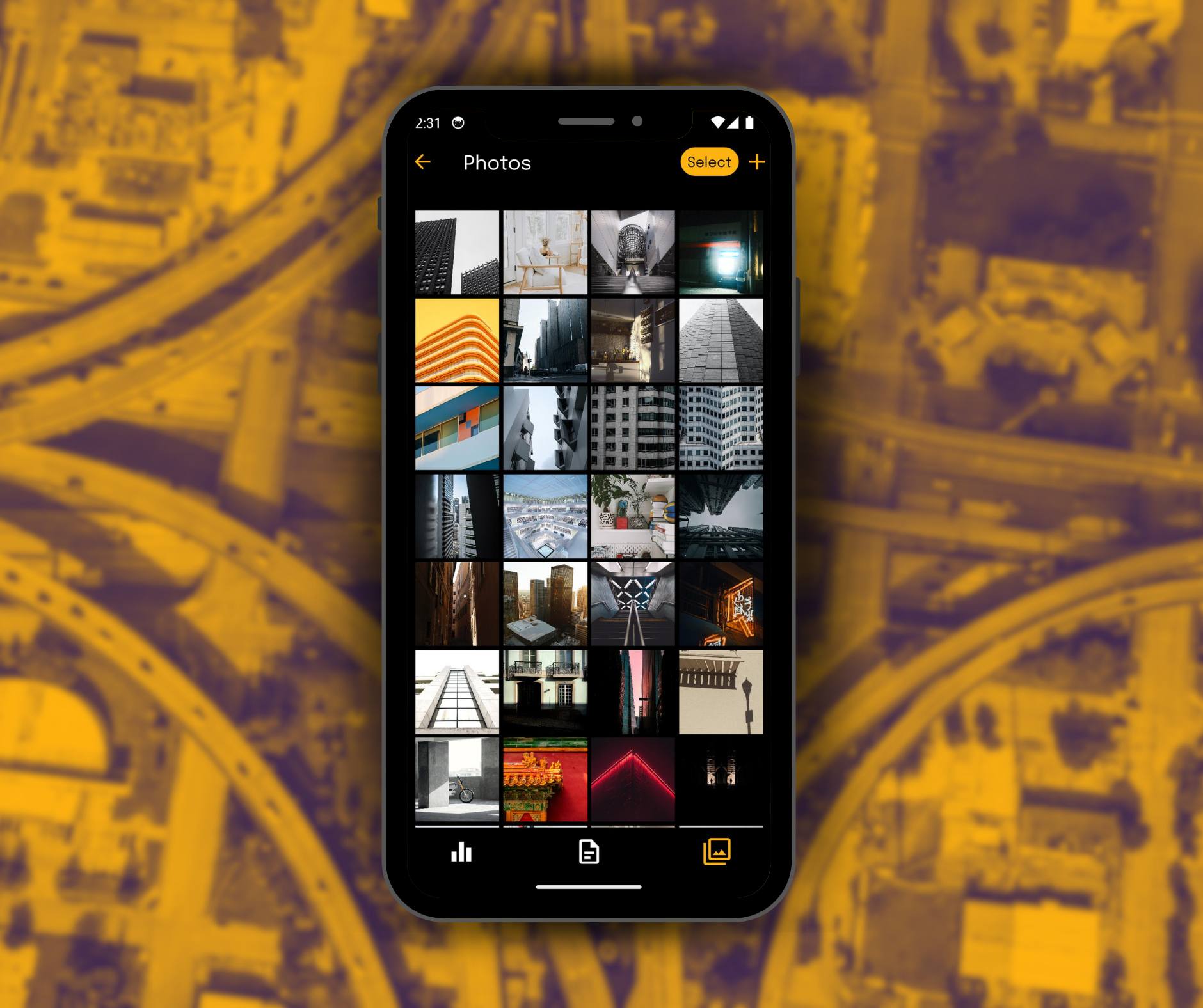
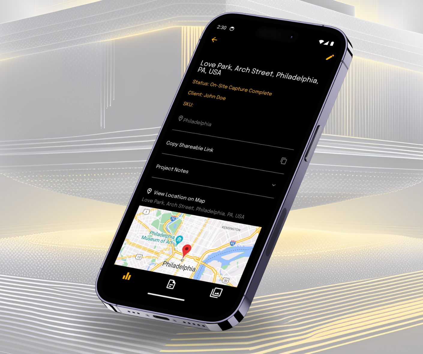
Paired with a compatible documentation app, like Robotic Imaging’s mobile application, you can maintain better control over your data and more accurately survey spaces.
2. Time Efficiency
Gone are the days of time-consuming traditional surveying methods. LiDAR is faster, often able to collect data at highway speeds, minimizing the need for road closures and reducing the time spent collecting data on site. And, if you are considering pairing your services with form documentation, Robotic Imaging is your best option. Robotic Imaging has experience both simultaneously scanning and documenting existing conditions at an expedited rate.
3. Cost-Effectiveness
While the initial investment in LiDAR technology can sometimes look substantial, the overall cost of surveying projects easily reduces, due to the speed and efficiency of data collection. This in turn reduces the need for manual labor, while also causing minimal disruption to traffic and business operations - priceless!
4. Comprehensive Data Capture
LiDAR has the capability to capture a 360-degree view of the surveyed area, providing a complete and comprehensive dataset that includes everything from road markings to utility poles. Depending on your scanning package with Robotic Imaging, most LiDAR scans are paired with a Matterport scan. Matterport is slightly different from LiDAR scans, as it relies on a technology known as photogrammetry. Photogrammetry stitches multiple images together to create a visual 360 photo at multiple site points to better visualize the space. And lastly, if you were to pair it with Robotic Imaging’s mobile documentation application, you even access more data at your fingertips. With Robotic Imaging’s mobile app, you are capable of accessing site survey forms, photos, scans, all in one location.
5. Better Planning and Design
The high-resolution, 3D data obtained via LiDAR scanning is a game changer for engineers and designers working on infrastructure projects. This technology offers a detailed, bird's-eye view of terrain and structures, allowing for more accurate assessments of the existing conditions. With this data, project planners can detect potential issues early in the design process, adjust plans to better suit the actual environment, and foresee how new constructions will interact with existing infrastructures. As a result, projects are more likely to stay on schedule and within budget, while also achieving the desired outcomes in terms of safety, functionality, and aesthetics. This enhanced capability to visualize and plan in three dimensions ultimately leads to more robust and well-integrated infrastructure development.
6. Enhanced Project Management
Access to a rich dataset provided by LiDAR technology and Scan-to-BIM services empowers project managers with invaluable insights for overseeing infrastructure projects. This comprehensive data streamlines the process of tracking project progress in real-time, allowing for a more dynamic and precise management approach. It also facilitates the optimal allocation and utilization of resources, significantly enhancing operational efficiency. Furthermore, the depth and clarity of information available enable project managers to make well-informed decisions swiftly, addressing potential issues before they escalate and ensuring the project adheres to its timelines and budgetary constraints. In essence, the detailed data gleaned from LiDAR becomes a critical tool in maintaining the momentum of project development, keeping it aligned with planned objectives.
7. Minimizes Disruptions
Thanks to the speed of Scan-to-BIM and LiDAR, infrastructure projects can proceed with minimal disruption to surrounding areas. This is especially important in urban settings where road closures can significantly affect traffic flow and commerce.
8. Multifunctional Data Use
The versatility of data collected extends its utility far beyond the scope of its initial infrastructure project. This comprehensive data serves a multi-functional role in the lifecycle of an asset. For asset management, the precise measurements and high-resolution imagery facilitate the creation of detailed inventories and condition assessments, enabling more effective asset tracking and valuation. In maintenance planning, the clarity and accuracy of LiDAR data help identify wear and deterioration, allowing for predictive maintenance and timely interventions that prolong the lifespan of the infrastructure. Additionally, the same data can be instrumental in emergency response planning, where detailed 3D mapping can inform the development of strategies for evacuation routes, hazard identification, and disaster impact analysis. The rich dataset provided by LiDAR technology thus becomes an invaluable asset for ongoing management, strategic planning, and preparedness activities, offering a long-term return on investment for various stakeholders.
9. Environmental Monitoring
LiDAR technology plays a pivotal role in environmental stewardship during infrastructure projects by offering high-precision measurements of natural features. Before construction begins, LiDAR can map the existing topography, vegetation, and water bodies, establishing a comprehensive baseline environment. This pre-construction data assists in designing projects that minimize ecological disruption. During the construction phase, ongoing LiDAR scans can monitor changes and ensure compliance with environmental regulations, detecting deviations that might harm local ecosystems. Post-construction, LiDAR assists in assessing the impact of the project on the surrounding environment, providing the data necessary to evaluate whether restoration efforts are successful and if the project has altered surface hydrology or habitats. By enabling accurate and ongoing environmental assessments, LiDAR technology helps manage and mitigate the ecological footprint of infrastructure development, ensuring environmental considerations are respected throughout the project lifecycle.
In conclusion, LiDAR scanning yields significant benefits for infrastructure projects, making it a revolutionary tool in an ever-growing industry. These advantages not only ensure that such projects are completed efficiently and effectively but also contribute to safer, smarter, and more sustainable infrastructure development. Do you think Robotic Imaging would be a good fit for your project? Reach out to us at info@roboticimaging.com for a free quote!

