Why Architects and Engineers Are Turning to LiDAR and Mobile Apps for As-Built Documentation
Robotic ImagingSeptember 4, 2024
In the fast-paced world of architectural design and engineering, professionals are constantly seeking innovative solutions to enhance efficiency, precision, and cost-effectiveness in their projects. One technological advancement that is changing the game is mobile LiDAR (Light Detection and Ranging) scanning, particularly for creating as-built documentation. Robotic Imaging, a leader in cutting-edge surveying solutions, is pioneering the way professionals capture the real world, one scan at a time. They also released a revolutionary app in 2024 to streamline the entire scan-to-BIM documentation process. Let's discuss the benefits:
Unmatched Accuracy and Detail
Mobile LiDAR systems are equipped with the capability to capture millions of data points, creating highly accurate 3D models of physical spaces. This level of detail is crucial for architects and engineers who require precise measurements to ensure their retrofitting or refurbishment projects align perfectly with existing conditions. With Robotic Imaging’s state-of-the-art mobile LiDAR technology, the slightest nuances of a structure are captured, leaving no room for error and guesswork that can often lead to costly mistakes during construction.
Streamlining the As-Built Documentation Process
Traditional methods of creating as-built documentation—like manual measurements—are time-consuming and prone to human error. Traditional LiDAR scanning paired with mobile documentation, on the other hand, significantly speeds up the process. With the push of a button, Robotic Imaging’s services allow for rapid data collection, enabling architects and engineers to gather comprehensive site details in a fraction of the time. This swift turnaround isn't just about saving the clock; it's about accelerating project timelines, thereby providing clients with quicker results.
Studies have shown that LiDAR systems can achieve accuracies up to ±2mm in controlled indoor environments, which is significantly more precise than traditional surveying methods typically used for as-built documentation. In outdoor environments, the accuracy can vary depending on factors such as the quality of the equipment and environmental conditions, but modern LiDAR technology can still achieve accuracies in the range of ±3 to 20mm.
Reducing Costs with Revolutionary Technology
Cost reduction is a primary concern for any project. Traditional LiDAR paired with a mobile documentation app slashes expenses in multiple ways. First, by decreasing the amount of time on-site needed for data collection, it reduces labor costs. Secondly, the precision of LiDAR minimizes costly rework due to inaccurate measurements. Robotic Imaging's expertise means that clients can trust the data’s integrity, translating to better budget management and more competitive bids on projects.
The cost savings from using LiDAR technology can vary greatly depending on the size and complexity of the project, the existing conditions, and the specific requirements of the job. There isn't a one-size-fits-all percentage, as savings can range widely based on the aforementioned factors. Estimates suggest that adopting LiDAR can lead to substantial cost savings, occasionally reaching the following:
- Design Phase: During planning and design, precise LiDAR data can help reduce design time and errors by up to 40-50%, thereby also slashing associated costs.
- Construction Phase: The accurate and detailed information from LiDAR scans can expedite the construction process and improve coordination, potentially leading to cost reductions of 20-30% on certain tasks.
- Rework Reduction: LiDAR’s precision helps in reducing rework, which is a significant cost in many projects. Reports indicate that avoiding rework with improved accuracy might save between 5-10% of the total project cost.
- Facility Management: In long-term facility management, having detailed LiDAR scans for reference can lead to maintenance cost savings of up to 5-10% due to more efficient planning and execution.
Enhancing Safety and Accessibility
Capturing as-built conditions in structurally complex or even deteriorating environments can pose significant risks. Having a complete Scan-to-BIM model, extracted from LiDAR scans, eliminates the need to physically access difficult or unsafe areas. Scan-to-BIM allows clients to remotely assess and explore potential hazards in a site's existing conditions, reducing the need to physically access unsafe areas. This minimizes exposure to risks like falls, structural instabilities, and other health hazards. Before construction begins, a precise BIM model enables clients to plan and simulate various scenarios, helping anticipate and mitigate risks for workers. During the project, the model can be continuously updated to reflect the current state of the site, allowing for ongoing safety assessments as work progresses.
Versatility and Adaptability across Disciplines
The versatility of scanning makes it valuable for a wide range of applications. From preserving cultural heritage to designing complex mechanical systems, Robotic Imaging’s LiDAR solutions cater to the unique demands of any architectural or engineering endeavor. The construction and maintenance of any building or facility requires a collaborative effort from professionals across multiple disciplines, including architects, engineers, contractors, and facility managers. Integrating a Scan-to-BIM service offers a cohesive platform that enhances collaboration, accuracy, and efficiency, significantly benefiting the lifecycle of a property. The versatility of Scan-to-BIM services enables a seamless integration of detailed 3D modeling with the comprehensive workflow of various disciplines, thereby enhancing project execution and management.
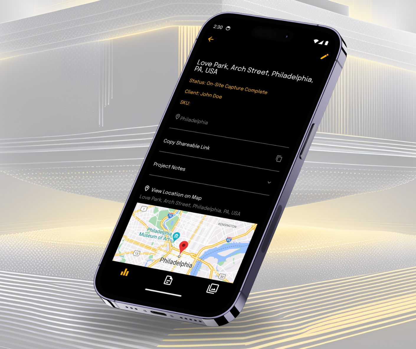
Pairing a Scan-to-BIM service with a mobile documentation app significantly boosts efficiency and reliability. This combination enables real-time updates, allowing professionals to access and modify the BIM model directly from the field, ensuring it always reflects the current state of the project and supporting quick decisions. Mobile apps also streamline data collection by integrating non-geometric information like material specs, maintenance records, and warranties into the model, creating a comprehensive database. Additionally, improved communication through shared annotations and photos reduces errors, while the accessibility of mobile apps allows more professionals to contribute, fostering collaboration and inclusivity.
The Future Is Mobile
As technology advances, the integration of mobile scan-to-BIM documentation applications into routine practices is inevitable for forward-thinking architects and engineers. The expertise of Robotic Imaging in this domain provides an unparalleled service, ensuring projects are executed with the highest standards of accuracy, efficiency, and safety.
Robotic Imaging stands at the forefront of this technological evolution, empowering professionals to embrace the future of architectural and engineering projects. Those who adopt mobile LiDAR for as-built documentation will find themselves ahead of the curve, delivering outstanding quality work that exceeds expectations. By coupling mobile LiDAR with the ingenuity of skilled professionals, the industry is witnessing a transformative shift in how as-built environments are documented and utilized for the betterment of the built world.
Download Robotic Imaging's mobile app to revolutionize and upgrade your next project. Available on Apple and Android.