Robotic ImagingSeptember 15, 2024
In today's fast-paced construction and real estate industry, documenting commercial warehouses and managing adaptive reuse projects require innovative solutions that offer both precision and ease. This is where Robotic Imaging's laser scanning services, coupled with a powerful mobile app, emerge as game changers, propelling projects into the future with efficiency and unmatched accuracy.
The Evolution of Documentation with LiDAR Scanning
Laser Imaging, Detection, and Ranging (LiDAR) scanning stands at the forefront of this technological revolution. By emitting thousands of laser points to create detailed 3D models of physical environments, LiDAR scanning facilitates a seamless transition from physical spaces to digital twins.
What sets Robotic Imaging's LiDAR scanning apart in documenting commercial warehouses and undertaking adaptive reuse projects is its integration into the Scan-to-BIM (Building Information Modeling) workflow. This process not only captures the current state of a structure with millimeter accuracy but also enables architects, engineers, and construction professionals to manipulate, analyze, and manage crucial data within a BIM environment. The efficiency of this workflow has been well documented, with sources indicating significant cost savings and project time reductions when compared to traditional surveying methods.
Still not convinced? Let's discuss how LiDAR is revolutionizing commercial space documentation. Traditional documentation methods, such as hand measurements, had proven time-consuming and error-prone in past projects. Many companies turned to LiDAR scanning from Robotic Imaging for their documentation needs. Let's do a quick case study, seeing which method is most efficient when documenting a 10,000 sqft warehouse.
A hand measurement process took approximately two weeks to complete the documentation for the designated section of the warehouse. This involved multiple surveyors and required additional time to translate measurements into actionable CAD models. Whereas a LiDAR scanning phase was completed in just two days, including a comprehensive scan of the area and data processing to generate a detailed 3D model ready for integration into BIM software for immediate use. Hand measurements yielded a basic level of detail, sufficient for rough planning but required further verification steps to mitigate errors, adding to the project timeline. Whereas LiDAR scanning captured intricate details, including pipe runs, structural nuances, and even the wear on floor surfaces, providing an unparalleled level of accuracy that significantly enhanced the planning and design stages.
While the upfront cost of LiDAR scanning was initially higher than the traditional method, the overall project cost savings were substantial. The accuracy and detail of the LiDAR data reduced the need for contingency budgets typically allocated for unforeseen issues discovered during the renovation phase. The efficiency of the LiDAR process also meant less time was spent on documentation, allowing the project team to focus on design and implementation, thus shortening the overall project timeline and reducing labor costs.
The use of LiDAR scanning technology in documenting this case study, a commercial warehouse, proved to be a transformative decision. Not only did it expedite the timeline of documentation by over 80%, but it also afforded the project team a level of detail and accuracy that traditional methods could not match. The initial investment in LiDAR technology paid off manifold by streamlining the entire renovation process, from planning to execution, ensuring the project stayed on schedule and under budget. This case study underscores the value of integrating advanced technologies like LiDAR scanning in commercial space development projects, demonstrating that such investments are not mere costs but pivotal tools in achieving efficiency, precision, and cost savings.
Revolutionizing Field Management with Robotic Imaging’s Mobile App
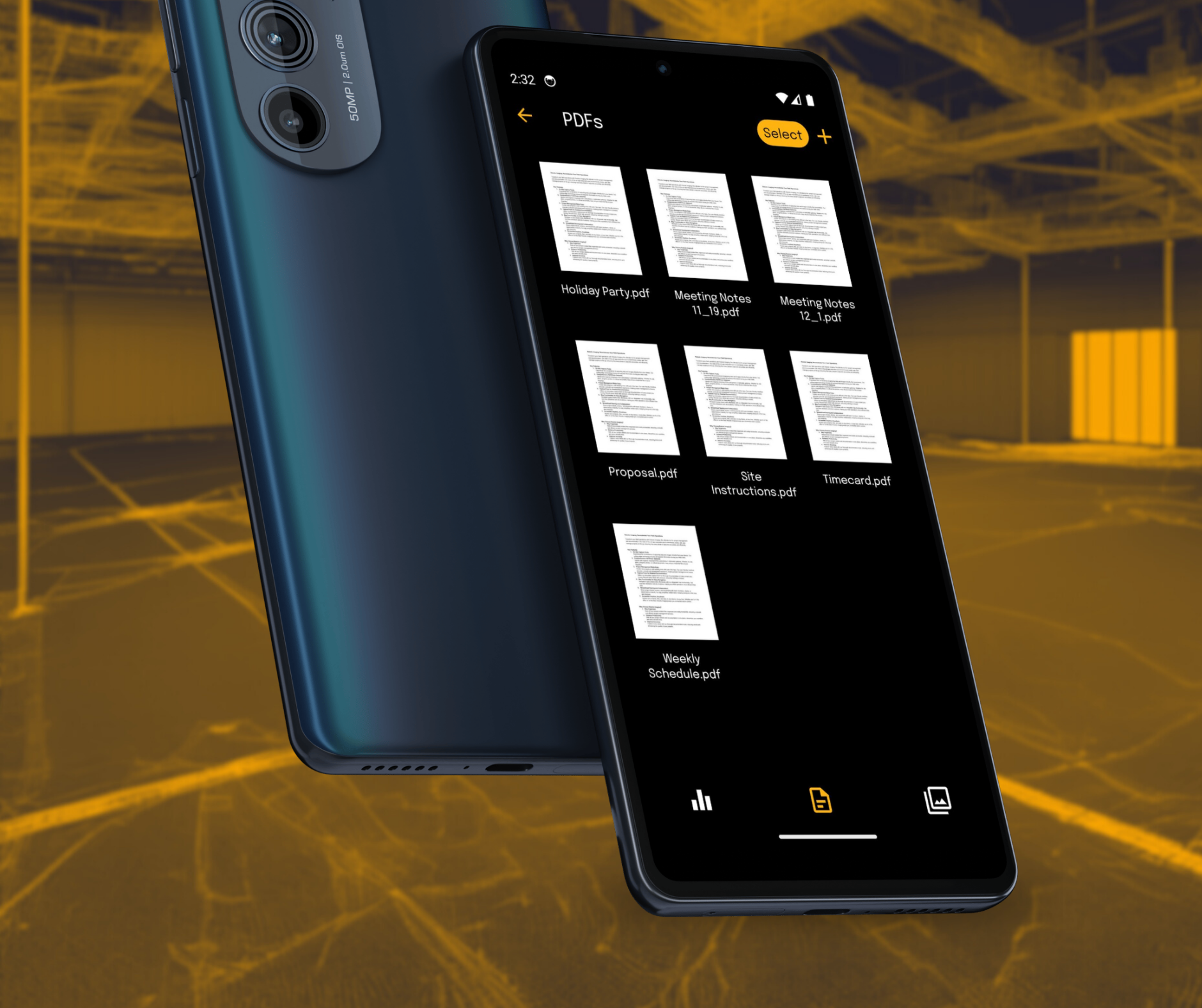
Understanding the dynamic needs of field operations, Robotic Imaging introduces its groundbreaking mobile application, available for both iOS and Android users. This app is designed to revolutionize field management by offering comprehensive tools for project documentation, management, and collaboration directly from your mobile device.
Key features of the app that enhance productivity and project accuracy include:
- On-Site Capture Tools: Direct data and image capture from your device, perfect for real-time updates and documentation.
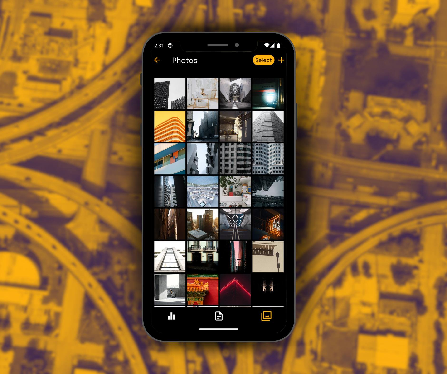
- Seamless Document and Photo Management: Upload, organize, and share important project documents and photos with ease.
- Simplified Project Management: Intuitive creation and editing of projects, enabling quick adjustments and updates.
- Detailed Documentation: Utilize forms for precise project documentation, ensuring clarity and accuracy in records.
- Enhanced Collaboration: Instantly share project details, photos, and documents, fostering seamless teamwork regardless of location.
Beyond functionality, choosing Robotic Imaging's app means opting for a solution designed to keep all project-related files organized, enhance productivity by streamlining workflows, and boost collaboration amongst team members.
The Verdict
The integration of Robotic Imaging's LiDAR scanning services and mobile app into your project documentation process not only signifies a step towards embracing digital transformation in the field of construction and architecture but also ensures a significant leap in productivity, accuracy, and efficiency.
Cost-effectiveness and efficiency of LiDAR scanning in commercial and adaptive reuse projects are well acknowledged in the industry, with the technology providing substantial savings in both time and resources. When this cutting-edge laser scanning is combined with the innovative mobile app from Robotic Imaging, professionals are equipped with a powerful toolkit that transforms field operations and project management.
In essence, Robotic Imaging's laser scanning services and mobile app integration represent the future of field operations, providing unparalleled convenience, accuracy, and efficiency. As the industry continues to evolve, embracing these technologies will not only enhance project outcomes but also ensure a competitive edge in a rapidly changing marketplace.
Explore the full potential of Robotic Imaging's services and mobile app to understand why professionals are making the switch to this streamlined, state-of-the-art approach to project documentation and management.


