Robotic ImagingSeptember 26, 2024
In the rapidly evolving landscape of Architecture, Engineering, and Construction (AEC), professionals continuously seek advancements that streamline operations, enhance accuracy, and save time and costs. Recent technological advancements, particularly in LiDAR scanning and mobile app integration, have revolutionized field documentation and surveys, marking a significant shift in how projects are approached and managed. Innovations by leaders in the field, such as Robotic Imaging, demonstrate the tangible benefits of embracing these technologies. LiDAR scanning is a technology that uses lasers to measure distances and create 3D models of objects. It has been used in the AEC industry for years, but recent advancements have made it more accessible and affordable. Mobile app integration allows professionals to use their smartphones or tablets as tools for seeing captured data on-site, accessing surveying forms, and contacting team members, as all project files have been uploaded to cloud-based platforms for analysis and sharing.
The Evolution and Impact of LiDAR Scanning
To quickly recap, the advent of Laser Imaging, Detection, and Ranging (LiDAR) scanning technology has ushered in a new era of precision in the AEC industry. With the ability to emit thousands of laser points to create highly detailed 3D models of physical environments, LiDAR scanning facilitates a seamless transition from tangible spaces to their digital twins. This capability is particularly transformative in the realm of commercial warehouses and adaptive reuse projects, where accuracy and detail are paramount.
Robotic Imaging has been at the forefront of this change, integrating LiDAR scanning into the Scan-to-BIM (Building Information Modeling) workflow. This integration not only captures the current state of a structure with millimeter accuracy but also enables professionals to manipulate, analyze, and manage critical data within a BIM environment. The result? Significant cost savings and project time reductions, with documented cases showing how LiDAR scanning expedites the documentation process by over 80% compared to traditional methods.
Revolutionizing Field Management with Robotic Imaging’s Mobile App
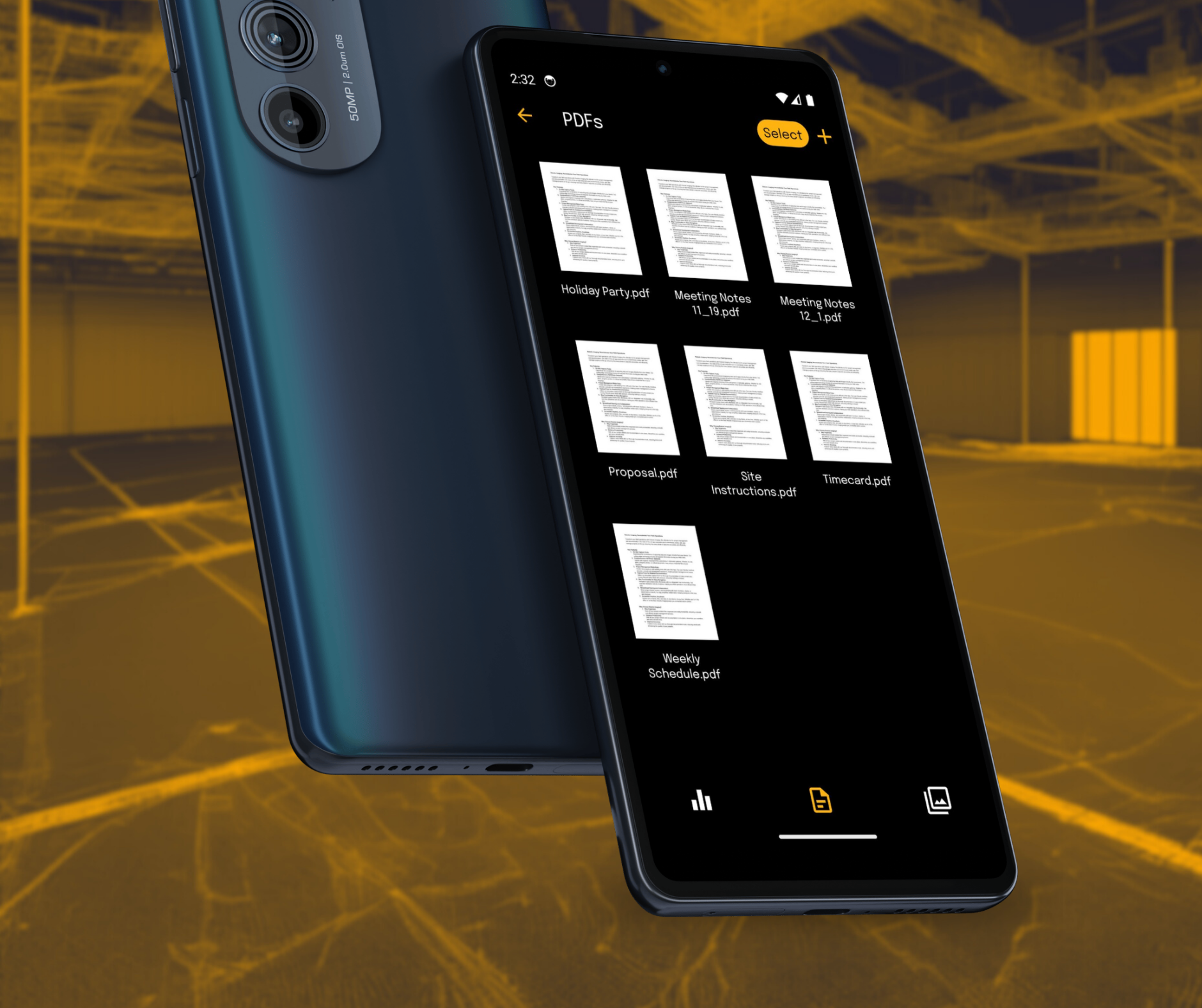
Recognizing the dynamic needs of field operations, Robotic Imaging introduced a groundbreaking mobile application, available for both iOS and Android users. This app is a pivotal tool for AEC professionals, offering on-site capture tools, seamless document and photo management, simplified project management, detailed documentation, and enhanced collaboration features directly from your mobile device.
Key Benefits of Robotic Imaging’s Mobile App:
- On-Site Capture Tools: Facilitate real-time updates and documentation directly from the field.
- Seamless Document and Photo Management: Organize and share vital project documents and images effortlessly.
- Simplified Project Management: Easily create, edit, and update projects on the go.
- Detailed Documentation: Employ forms for precise record-keeping, ensuring accuracy in every detail.
- Enhanced Collaboration: Share project details, photos, and documents instantly, ensuring team cohesion regardless of location.
By choosing Robotic Imaging's app, AEC professionals can keep all project-related files organized, enhance productivity by streamlining workflows, and boost collaboration among team members. The app is a powerful tool for professionals who want to streamline their workflows and boost productivity. We pride ourselves on ensuring that all team members have access to the most up-to-date information. It also provides detailed documentation of every aspect of a project, including photos and documents, which can be shared instantly with other users.
Embracing the Digital Transformation
The integration of LiDAR scanning services and mobile apps like those offered by Robotic Imaging signifies a monumental step forward for the AEC industry. This combination of cutting-edge technology ensures not just a leap in productivity, accuracy, and efficiency but also cost-effectiveness across various projects. As the AEC industry continues to evolve, those who embrace these technologies will not only enhance their project outcomes but also secure a competitive edge in a rapidly changing marketplace.
Discover the full potential of integrating advanced LiDAR scanning and mobile app solutions into your project documentation and management processes with Robotic Imaging. Welcome to the future of field operations in the AEC industry—a future where efficiency, precision, and cost savings go hand in hand.

