Robotic ImagingSeptember 1, 2022
The LiDAR drone market is expected to grow from $133 million in 2020 to $392 million by 2025. The CAGR growth of 24.2% shows that the LiDAR drone market will continue to grow in response to its rising demand in different commercial industries.
What are LiDAR Drones?
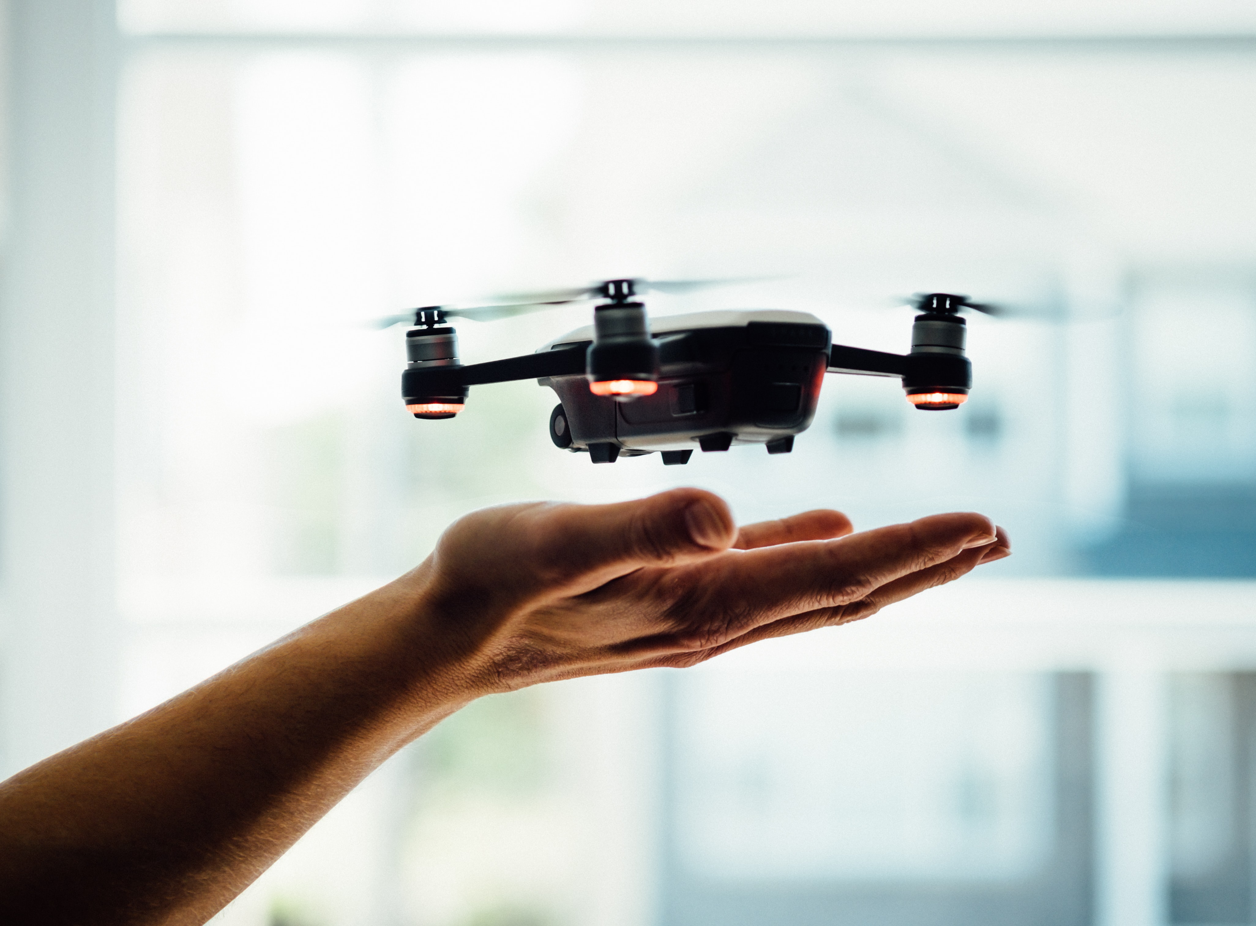
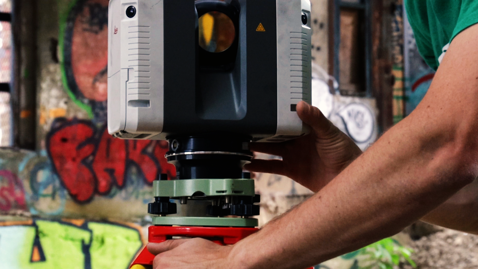
A LiDAR drone carries a LiDAR sensor which can be used to collect data required to create 3D models. These sensors can capture imagery that was previously possible only through an aircraft and a crew. However, LiDAR drones have made this technology more accessible. Moreover, sophisticated software is now available to quickly process the LiDAR images and encourage quick decision-making by involved parties.
The LiDAR UAV sector has significantly benefited from leading manufacturers' shifts in engineering LiDAR sensors for small drones. Now, this technology is being used in multiple ways across different industries.
Suggested reading: If you want to learn more about how drones work, check out this article.
LiDAR Drone Applications
Following are the most common areas where drones with LiDAR are transforming operations through 3D mapping.
Inspection
LiDAR drones are widely used in the construction and engineering industry to inspect buildings and sites. They capture 3D images of the building as it is and helps building managers make accurate decisions regarding its construction and maintenance.
These drones greatly decrease the time and cost of physical inspections and surveys. From surveying a construction site to inspecting pipelines, turbines, rails and more, LiDAR sensors present a convenient and more effective solution. Here are a few ways LiDAR drone companies can assist a construction project:
- Create a 3D snapshot of the building, which can then be compared to old diagrams and future plans.
- 3D rendering of a space enables project managers to plan future work while ensuring that critical details are not missed in the process.
- Reduce the risk and hazard of physical inspection, especially in confined places or at precarious heights.
- The process of capturing 3D maps with aerial LiDAR data speeds up the inspection process and reduces downtimes saving significant costs.
Archeology
This is another exciting field where LiDAR drones are helping make important headways. They assist researchers in understanding previously uncovered sites and discovering new ones. A recent example of how these drones helped researchers was in 2019 when they attempted to map Sand Canyon at The Canyons of the Ancient National Monument. With the LiDAR drone technology, researchers were able to collect over 3.2 billion data points while surveying the area.
Forestry
LiDAR drones are being used in the forestry industry to measure everything from the height of a tree to the area covered. The data collected allows foresters to understand ecosystems, manage forest fires, and classify land. The LiDAR technology is equally effective in mapping treetops and collecting information on the ground. Since it is unaffected by shadows cast by trees, the LiDAR laser can reach the forest floor, offering insights that aren’t possible with other methods.
LiDAR drone technology is advancing rapidly, and manufacturers are constantly improving its features and deliverables. Considering the numerous ways LiDAR drones can be used across industries, this market will continue to grow.

