Robotic ImagingOctober 13, 2023
LiDAR (Light Detection and Ranging) technology has revolutionized the way we perceive and map our surroundings. It has become an integral part of various industries like autonomous vehicles, robotics, environmental monitoring, architecture, construction, and more. LiDAR systems use laser pulses to measure the distance, shape, and orientation of objects, providing high-resolution 3D representations. While LiDAR has already made significant advancements, the integration of artificial intelligence (AI) is set to propel its capabilities even further in the upcoming years.
Enhanced Object Recognition
Artificial intelligence algorithms combined with LiDAR technology have the potential to improve object recognition in real-time. By analyzing the shape, size, and movement patterns of objects captured by LiDAR sensors, AI can accurately identify and classify various objects, including pedestrians, vehicles, and obstacles. Enhanced object recognition will enhance the safety and efficiency of applications such as autonomous vehicles, where quick and precise detection of objects is crucial.
Improved 3D Mapping and Localization
The fusion of LiDAR and AI can greatly enhance 3D mapping and localization capabilities. Traditional LiDAR mapping techniques require extensive manual processing, making it time-consuming and inefficient. However, AI algorithms can automate the process by analyzing vast amounts of LiDAR data and extracting relevant information to create detailed 3D maps. Moreover, AI algorithms can aid in localization by comparing real-time LiDAR data with pre-existing maps, enabling accurate positioning and navigation.
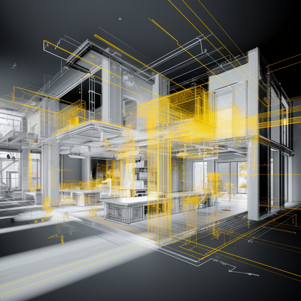
Improved 3D mapping and localization can greatly enhance LiDAR scanning in terms of architecture and design. Here are a few ways in which it can make a significant impact through more detailed architectural documentation, streamlined design processes, and precise site analysis. By combining LiDAR scanning with improved 3D mapping and localization, architects and designers can create highly accurate and detailed documentation of existing structures. LiDAR scanners capture millions of data points to create precise 3D representations of buildings and sites. The integration of localization algorithms further improves the accuracy by aligning the scans with reference points on the map. This level of detail and accuracy is invaluable in architecture and design, allowing professionals to accurately capture existing conditions and make informed decisions during the design process. With improved 3D mapping and localization, architects and designers can seamlessly integrate LiDAR scanning into their design workflow. The accurate 3D models generated from LiDAR scans provide a solid foundation for designing new structures or renovating existing ones. By having access to precise measurements and visual representations of the real-world environment, architects can easily assess design feasibility, make accurate measurements, and avoid potential clashes with existing structures. This streamlines the design process, reduces the need for rework, and improves overall efficiency. Improved 3D mapping and localization enable architects and designers to conduct precise site analysis and incorporate contextual design elements. LiDAR scanning provides accurate topographic information and captures existing site features like terrain, vegetation, and infrastructure. By integrating this data with the 3D models, architects can analyze the site conditions more comprehensively and design structures that are harmonious with the surrounding environment. This approach enhances the sustainable and contextual design principles, resulting in more integrated and visually appealing architectural solutions.
Real-time Environmental Understanding
AI algorithms can augment LiDAR technology by adding real-time environmental understanding. By analyzing LiDAR data in conjunction with other sensor inputs like cameras and GPS, AI can make sense of complex environments. For example, AI can detect road signs, traffic lights, and lane markings from LiDAR data, enabling better decision-making for autonomous vehicles. Additionally, AI algorithms can identify changes in the environment, like road construction or fallen trees, providing crucial information for navigation and safety. You can really see how this will influence the architectural design process and construction process too, as the environment is always changing.
Prediction and Path Planning
The inclusion of AI in LiDAR systems can significantly improve prediction and path planning capabilities. By analyzing patterns and historical LiDAR data, AI algorithms can predict the movement and behavior of objects, such as pedestrians and vehicles. This predictive ability enables autonomous systems to anticipate future scenarios, enhancing safety and allowing proactive decision-making. Moreover, AI can assist in path planning by considering LiDAR data and generating optimal routes based on road conditions, traffic, and potential obstacles.
Challenges and Future Directions
While the integration of AI and LiDAR holds enormous potential, it also comes with challenges. One major challenge is the development of AI algorithms that can efficiently process and analyze the massive amounts of LiDAR data in real-time. Additionally, ensuring the accuracy and reliability of AI-based object recognition is a crucial aspect that needs to be addressed for safety-critical applications especially for processes like autonomous vehicles.
To address these challenges, ongoing research and collaboration between academia, industry, and government institutions are essential. The development of more advanced deep learning models, efficient data processing techniques, and hardware optimizations specific to LiDAR will be crucial in harnessing the full potential of AI-driven LiDAR systems.
Overall, the integration of artificial intelligence and LiDAR technology has the potential to revolutionize perception systems across various industries. Enhanced object recognition, improved 3D mapping and localization, real-time environmental understanding, and advanced prediction and path planning are just a few areas where AI can elevate LiDAR capabilities to new heights. While challenges exist, the ongoing advancements in AI algorithms and LiDAR hardware will pave the way for a future where AI-driven LiDAR systems are efficient, reliable, and essential tools for a wide range of applications.

