Robotic ImagingMarch 5, 2022
The demand for technological advances is in high demand. Big data, AI development, and sourcing technologies are critical tools used by major companies to extract data to grant higher efficient cities and better experiences for occupants. But in pandemic times, especially with the Omicron variant, it becomes increasingly difficult to gather building information. What can the industry do to best respond? How has the pandemic affected technology?
The primary interests of corporations and governments have been leaning toward reducing large populations. But, the industry and its work is in high demand. Buildings need to be built and renovated. Projects needed to adapt to the longevity of the pandemic.
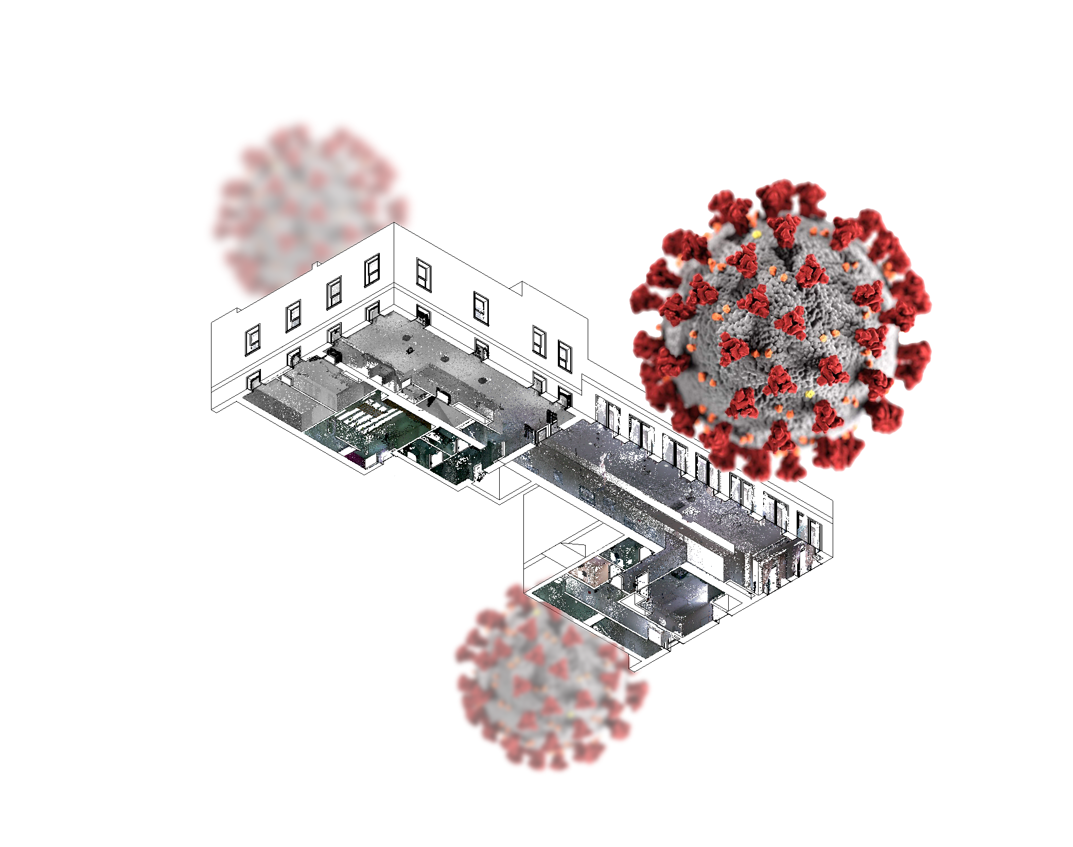
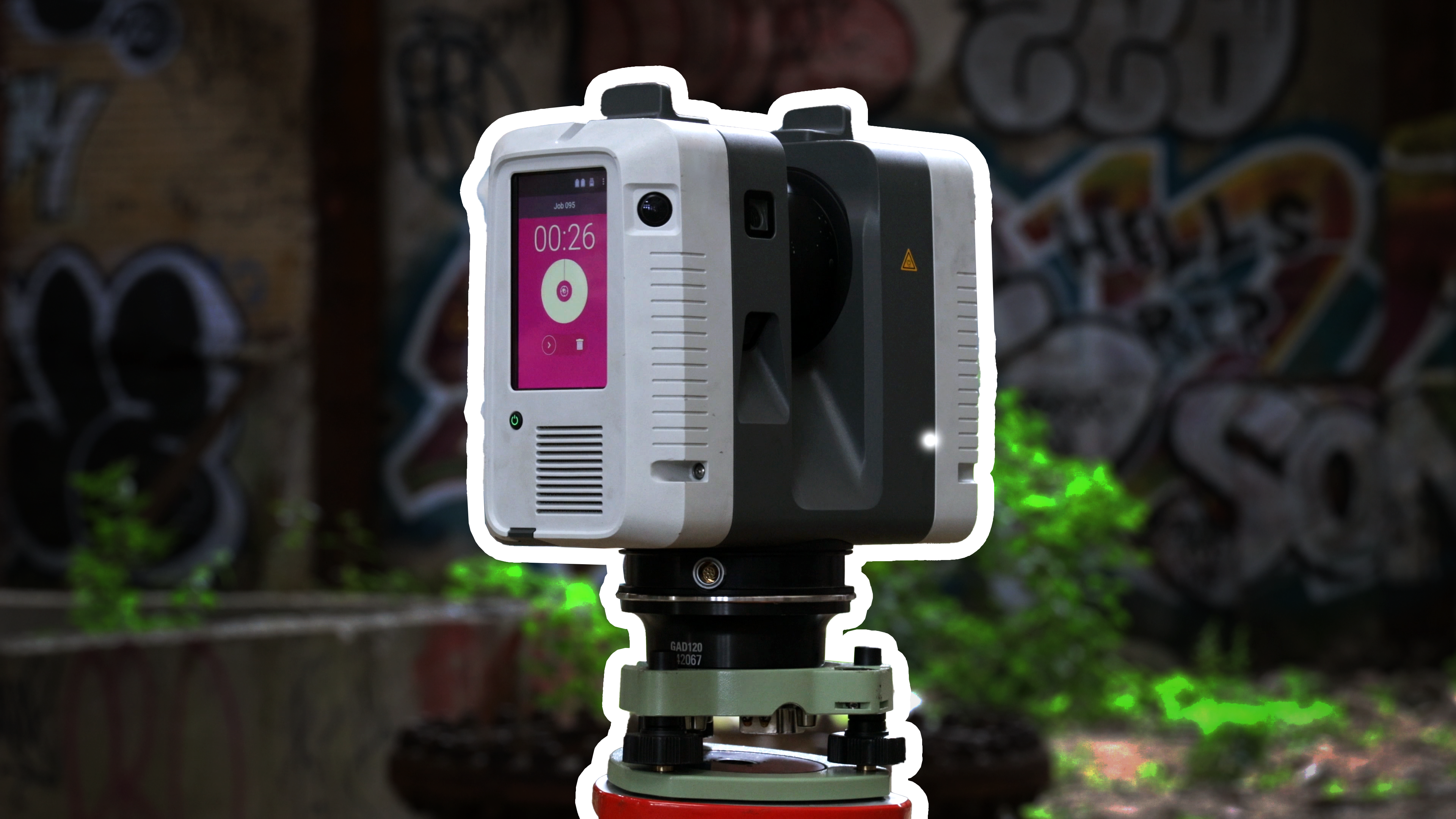
LiDAR and 3D scanning technology is the perfect solution to these ongoing issues. LiDAR scanning requires less manpower to operate. Meaning, less people need to occupy spaces to extract design data, photos, and measurements. Laser scanners simply put could be the only method used to safely extract essential information a building project contains while under strict COVID-19 restrictions.
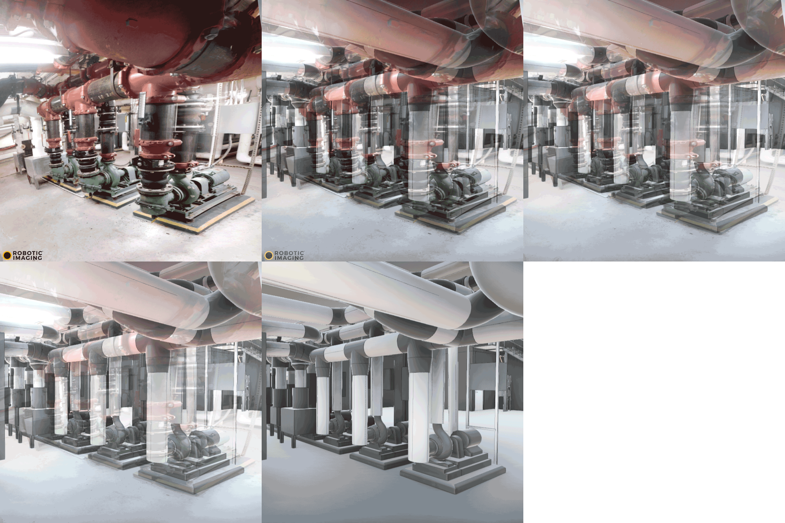
LiDAR and 3D scanning technology gives clients the most relevant, detailed, and precise information. A site can be modeled in a matter of hours by a trained technician. Point cloud data can be captured in less than a day, and this data can later be used to best influence design decisions. In times where traveling is stricter, if a team can no longer visit a site for an architectural project, a digitized site can come to them.
Suggested reading: If you want to learn more about the scanning benefits, check out this article.
Robotic Imaging has been using LiDAR scanning technology for years, providing point clouds and building information models, with varying levels of details. On these sites, we keep COVID-19 in mind, following social distancing recommendations and can reduce team members formerly required on a site to extract data. Robotic Imaging can solve this headache and bring digitized real estate right to your computer in a BIM or point cloud format.

