Robotic ImagingJanuary 26, 2024
What if we could dive deeper into these hidden ocean recesses and explore these underwater depths using cutting-edge technology? Enter bathymetry laser scanning, a technique that has transformed our understanding and perspective of water bodies around us. In this blog post, we will learn about the structure of bathymetry laser scanning and how it can be tied to terrestrial data for enhanced insights.
What is Bathymetry Laser Scanning?
Bathymetry is the study of underwater depths or elevations in water bodies such as oceans, seas, lakes, and rivers. In essence, it's like creating underwater topographic maps to analyze the terrain characteristics of submerged surfaces.
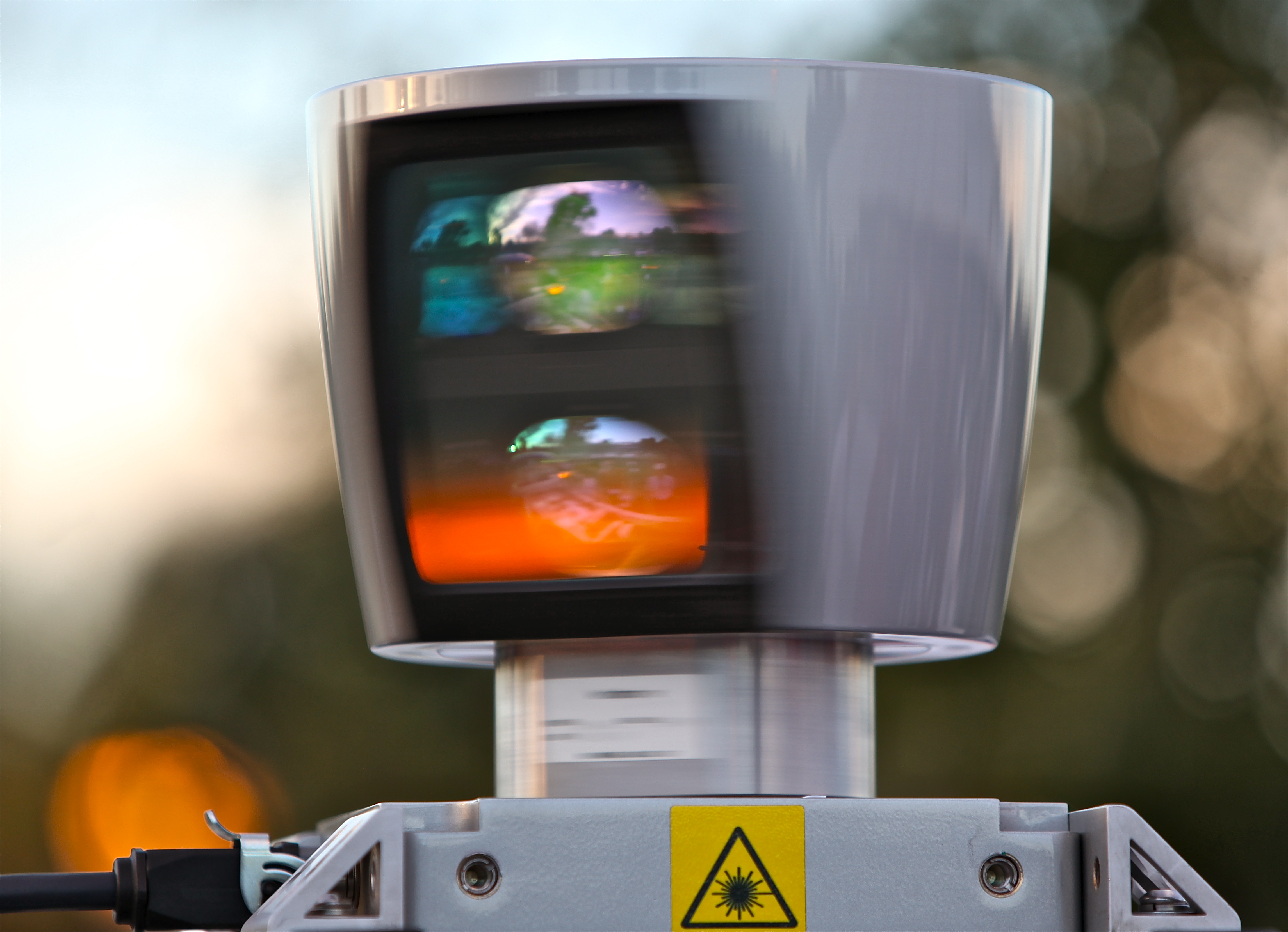
Bathymetry laser scanning, also known as LiDAR (Light Detection and Ranging) Bathymetry, is a remote sensing technique that uses light waves emitted from lasers mounted on aircraft or water vessels to accurately and efficiently measure underwater depths. By recording the time it takes for the laser pulse to travel to the seafloor and back to the sensor, bathymetry data can be collected to create detailed depictions of the underwater terrain.
Suggested reading: If you want to learn about LiDAR's impact on architecture and construction, check out this article.
Structure of Bathymetry Laser Scanning
The basic structure of a bathymetry laser scanning system consists of the following components:
- Laser Transmitter: This emits light pulses to the water's surface to penetrate and reflect off the seafloor.
- Receiver and Optics: These capture the returned light from the laser pulse and process it to be analyzed.
- Positioning System: This helps in accurately tracking the location of the sensor during data collection.
- Inertial Measurement Unit (IMU): This records the aircraft's or vessel's motion and attitude, which can later be used to correct the data.
- Control Unit: This monitors the overall performance of the system and helps operators make adjustments as needed.
Tying Bathymetry Laser Scanning to Terrestrial Data
Merging bathymetric data with terrestrial data is crucial for various applications, such as coastal zone management, shoreline mapping, flood risk assessment, and infrastructure planning. Here's how it can be accomplished:
- Data Integration: Combining shoreline terrestrial data derived from satellite imagery or aerial LiDAR surveys with bathymetric data can provide seamless and continuous topographic data from land to underwater environments. This helps in obtaining a better understanding of the geomorphic processes and their impact on coastal regions.
- Coordinate Systems and Datums: Addressing the discrepancies in coordinate systems and vertical datums of terrestrial and bathymetric data by transforming and referencing them to a common framework, allows for more accurate and consistent combination.
- Validation and Accuracy Assessment: Ensuring the accuracy of both terrestrial and bathymetric data through ground truthing, intercomparison, and other analytical techniques is essential for reliable integration.
The Future of Bathymetry Laser Scanning
Bathymetry laser scanning continues to evolve, offering more accurate and efficient ways to map seafloors and understand underwater topography. As technology advances, we can expect greater integration and accuracy in the data, leading to even more applications for bathymetry laser scanning.
To summarize, the connection between bathymetry laser scanning and terrestrial data is invaluable for many real-world applications. This synergy not only helps build a comprehensive understanding of our environment, but also aids in better decision-making and planning across various industries.
